
Map of Kalundborg Municipality

Price range: €20.00 through €48.00

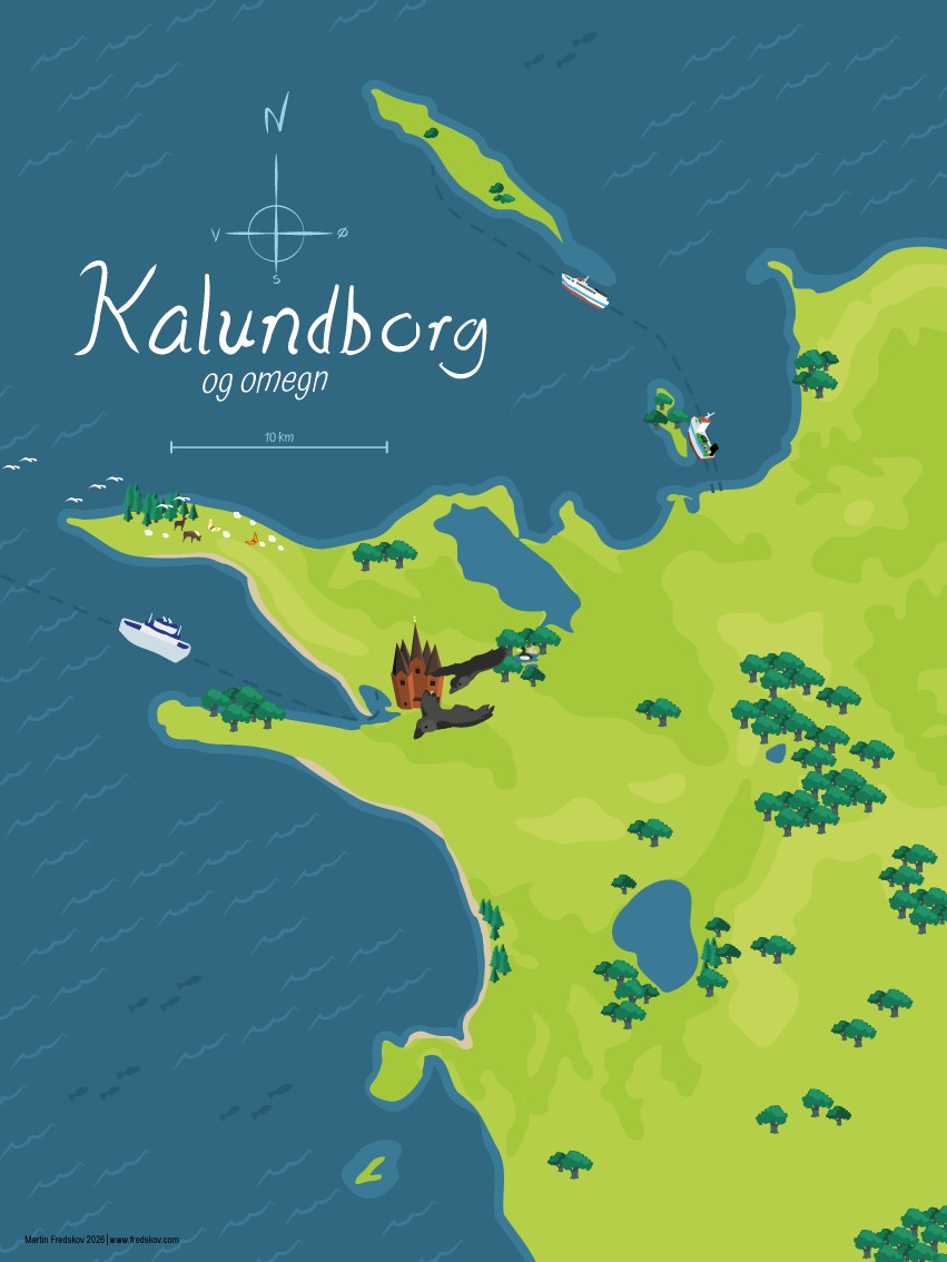
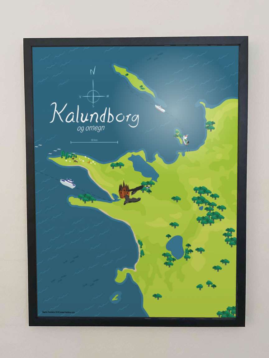
A finely decorated map of Kalundborg Municipality, as it looks after the municipal reform of 2007.

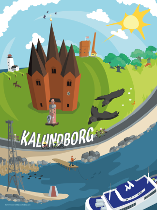
Decorated with ferry connections, forest and the unique five-towered church (Church of Our Lady) in the middle of Kalundborg’s old upper town.

The poster is drawn by a local artist from Spangsbro, just outside Kalundborg.

Printed on high-quality 240g satin paper – optional framing in fine frames from HOEI Denmark. Drawn without the use of generative AI.
SKU: byp-000003 Categories: , Tag:

Description

This finely decorated map of Kalundborg Municipality shows the whole area around Kalundborg.

The map also shows the nearby islands of Nekselø and Sejerø, their ferry routes, and the new electric ferry to Samsø.

In the middle of Kalundborg stands the five-towered church (Church of Our Lady), with the jackdaws that gave the town its name.
Additional information

Size

30×40 cm, 50×70 cm

Frame

Black pine, Dark oak, No frame, Oak, White pine

Reviews

There are no reviews yet.

Be the first to review “Map of Kalundborg Municipality”

Your email address will not be published. Required fields are marked *

Go to purchase